

How to Track Live Weather Radar: Rain and Storm Guide
Contents
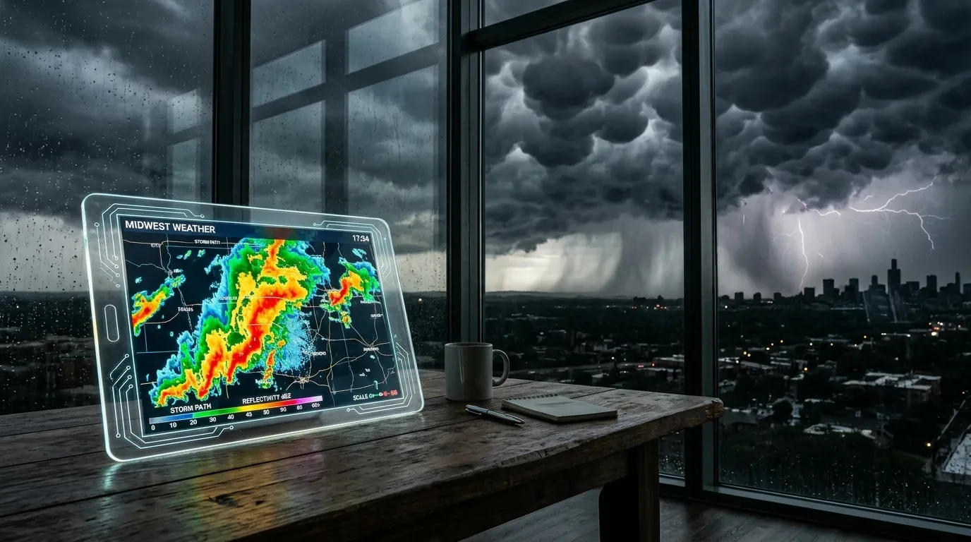
Standard daily forecasts show broad regional expectations, while radar maps show where rain, snow, or storm cells are moving right now. Reading these sweeps helps you see how fast a precipitation band approaches your specific area.
Accessing Live Weather Radar Maps
Official meteorological services and tracking sites provide direct radar sweeps:
- Visit your national meteorological service portal or a weather radar platform.
- Navigate to the Current Conditions or Radar section.
- Select Loop / Motion to watch how clouds move, or choose Image for the latest still frame.
- Open the composite national view for a wide perspective, or select a nearby local Doppler station for regional coverage.
Understanding UTC Time Conversion
Radar screens frequently display their timestamp in UTC (GMT) rather than local time.
You need to adjust that timestamp to your local offset. For example, in a UTC+3 time zone, a sweep labeled 07:01 UTC was recorded at 10:01 local time. Always check the corner timestamp on the map to confirm your browser is not showing a cached, older sweep.
How to Read Doppler Radar Colors and Echoes
Doppler radar stations send out electromagnetic pulses that bounce off airborne moisture, including raindrops, snow, and hail. The strength of the returning signal generates the color echoes on the map:
- Light Blue and Green: Light rain, drizzle, or high moisture that might evaporate before touching the ground.
- Yellow and Orange: Moderate to heavy steady rain with standing water and reduced driving visibility.
- Red, Purple, and White: Severe downpours, strong convective cells, or hail. These areas carry localized flooding and high wind risks.
- PPI (Plan Position Indicator): A horizontal 360-degree sweep at a set elevation angle, showing the general distribution and movement of precipitation.
Tracking Lightning and Thunderstorm Activity
You can cross-reference radar reflectivity with lightning detectors to see which cells are electrically active:
- Turn on the Lightning Tracker layer over your radar map.
- Check where strike markers cluster along incoming rain bands.
- Keep in mind that strike markers show discharges that just occurred, not guaranteed future strike locations.
- If you hear thunder nearby, head indoors immediately without waiting for an icon to appear over your precise street.
Tips for Accurate Radar Monitoring
Most radars refresh every 5 to 10 minutes. Refresh your browser periodically so the feed updates properly. During severe storm warnings, evaluate radar sweeps alongside official local weather advisories to plan your travel safely.
Related posts

How to Fix the 0xc00007b Error on Windows
Fix the 0xc00007b application error on Windows. Practical steps for Visual C++ runtimes, DirectX, SFC scans, and ProcMon troubleshooting.

How to Install and Watch TOD TV on Smart TV & Mobile
Learn how to install TOD TV on Smart TVs, Android, and iOS devices. Step-by-step guide for passwordless sign-in and streaming.

How to Link Your Turkish ID Card to Museum Pass via e-Devlet
Link your Turkish chip ID card to a MüzeKart pass on e-Devlet. Follow the steps to pay online and enter museums with your ID or QR code.